
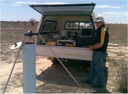
Electromagnetic (EM31, EM34, EM38)
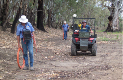
Using our varied methods and equipments for electromagnetic surveying we can, quickly and cost effectively, map soil type differences and distribution on your land, may it be agriculture or irrigation. The maps are then used to identify trends within the survey to target in on specific locations and carry out further and thorough investigations to determine its variability. EM surveying has a proven track Record for:
- soil type distribution for land capability assessment and zone management
- Assessment of suitability for irrigation development (fields, channels and storages)
- Assist with development of variable nutrient and soil ameliorant plans,
- irrigation and salinity management, and
- soil drainage characteristics for assessment of landuse suitability
- For agronomic applications, the linking of EM data with additional information such as remote sensing, yield mapping or other spatially referenced data, is proving a rapid and cost effective method for identification of production or management zones.
Soil Analysis
|
With our state of the art testing equipment we can provide a wide variety of
soil testing to aid in the interpretation of EM maps, or the application of fertiliser, gypsum etc to produce the most economical crop result. 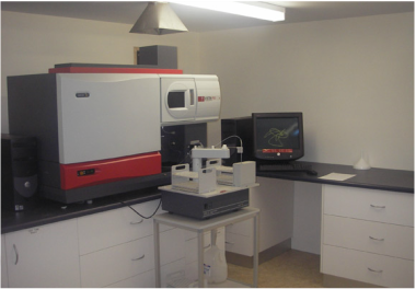
|
Elevation Mapping (3D Modelling)3D modeling allows soil variability to be assessed against topographical features
to aid in the interpretation of EM mapping, by simultaneously collecting EM data and elevation data the exact topographical spot of any EM value can be located. 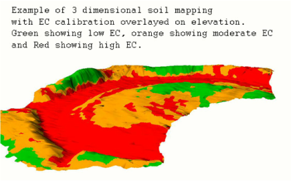
|
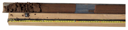
Soil Sampling
Various methods of soil sampling can be undertaken including auger drilling to 4 metres or core extraction to 1.5 metres, these samples then aid in producing soil constraint maps or depth of clay in water storage projects.
Precision Agriculture
|
By utilising a combination of EM mapping, soil constraint maps generated from test results,
yeild maps provided by you and then liaising with your agronomist we can help you to achieve the best crop result you could hope for. 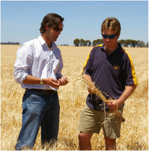
|
Down Hole Geophysical LoggingDown hole logging can include things such as water table depth monitoring, EC measuring and also locating sand layers to aid in setting bore pump depth.
|
